Date: c. 1940s
Origin: Great Britain
Fabric: Rayon
During World War II, maps of enemy territory were often printed onto lightweight fabrics such as silk and rayon. These fabrics could be easily compressed, stored and smuggled. The fibres were also quieter than paper, could get wet without damaging the print, and in emergencies the maps could even be used as filters or wound dressings. Servicemen could use the maps in the event of being shot down to find their way to safety and avoid capture, and prisoners of war could use them to assist escape.
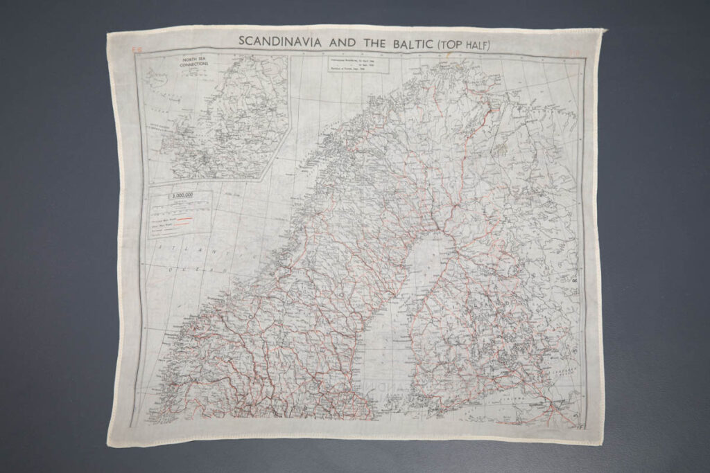
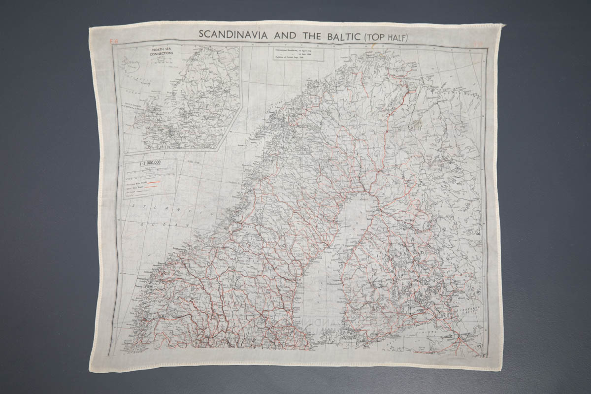
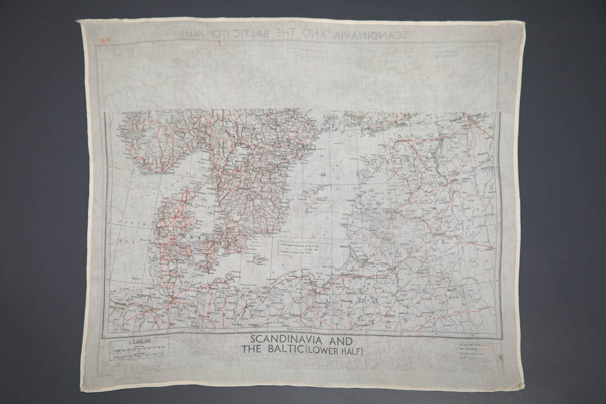
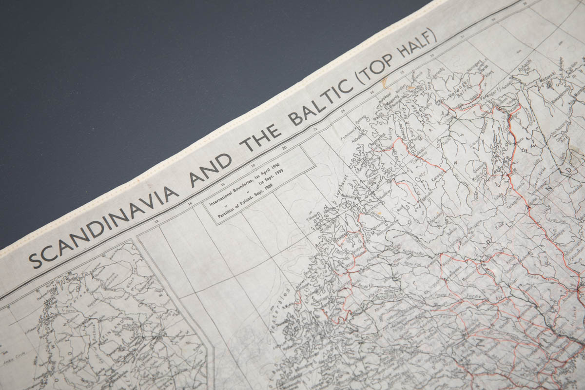
This escape map covers the territory of Scandinavia and the Baltic sea. The edges of the map are rolled and machine stitched in place to prevent the fabric from fraying. Due to the scarcity of certain materials such as silk, escape maps were occasionally upcycled into clothing. One such example can be found here, refashioned in a lingerie set.
From the collection of Karolina Laskowska


